| | Cancun Radar of Rina (October 2011) Approach
Source images from Mexican radar. Please note internet radar images from Mexico are usually an hour behind.
| No | Started:
10/26/2011 08:16pm
Last Updated:
11/06/2011 04:32pm
Last Checked:11/06/2011 04:32pm
Image Count:930 | 3358 |
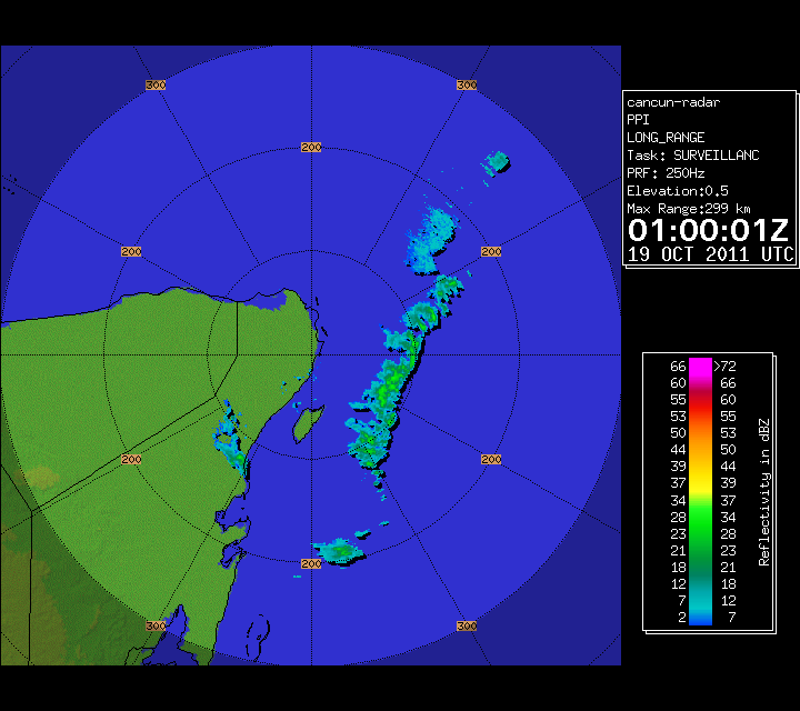
| | Cancun Radar of 95L (October 2011) Approach
Source images from Mexican radar. Please note internet radar images from Mexico are usually an hour behind.
This webcam recording from cancun is also looking at the general direction of the "center". | No | Started:
10/16/2011 09:32pm
Last Updated:
10/18/2011 09:24pm
Last Checked:10/18/2011 09:24pm
Image Count:183 | 613 |
| Maria (2011)  | French Antilles Radar Animation for Maria (Sep 2011) Approach
Meteo France updates approximately once every 15 minutes
Recording Started at 7:30AM EDT 31 July 2011
| No | Started:
09/09/2011 11:54am
Last Updated:
09/11/2011 06:09pm
Last Checked:09/11/2011 06:09pm
Image Count:214 | 4853 |
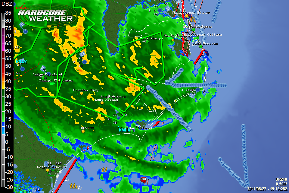
| Irene (2011)  | HardCore Weather Level 3 Radar Recording of Irene (2011)
Source images from hardcoreweather.com | No | Started:
08/26/2011 09:20pm
Last Updated:
08/27/2011 03:19pm
Last Checked:08/28/2011 04:54am
Image Count:206 | 1784 |
| Irene (2011)  | Orental Harbor, NC Recording Irene (2011)
From towndock.net Orental Harbor, NC | No | Started:
08/26/2011 06:47pm
Last Updated:
08/27/2011 07:24am
Last Checked:08/27/2011 04:12pm
Image Count:10 | 1598 |
| Irene (2011)  | Holden Beach, NC Webcam Recording of Irene (2011) Approach
From earthcam/Holden Beach Cam
| No | Started:
08/26/2011 03:30pm
Last Updated:
08/27/2011 12:57pm
Last Checked:08/27/2011 12:57pm
Image Count:363 | 1699 |
| Irene (2011)  | HurricaneTrack.com Tower Cam 1 Recording Irene (2011)
From Hurricanetrack.com --> See Mark's location on a map
Rodanthe, North Carolina
| No | Started:
08/26/2011 02:35pm
Last Updated:
08/27/2011 01:19am
Last Checked:08/27/2011 04:14pm
Image Count:60 | 2164 |
| Irene (2011)  | Myrtle Beach, SC Webcam Recording of Irene (2011) Approach
From Visit Myrtle Beach (this is a remote controllable camera)
| No | Started:
08/26/2011 02:30pm
Last Updated:
08/27/2011 05:18am
Last Checked:08/27/2011 05:18am
Image Count:856 | 1732 |
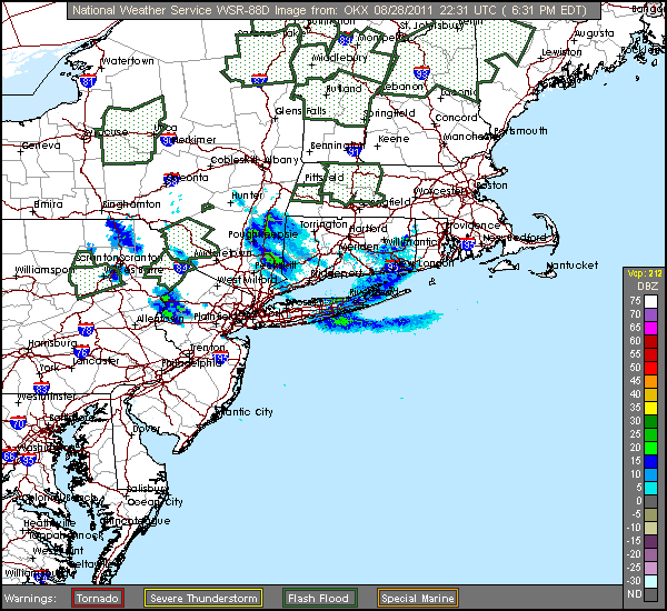
| Irene (2011)  | Irene (2011) US Radar Recording
Radar Recording started 1145PM EDT 8/24/2011
| No | Started:
08/24/2011 11:49pm
Last Updated:
08/28/2011 06:35pm
Last Checked:08/28/2011 06:42pm
Image Count:671 | 5361 |
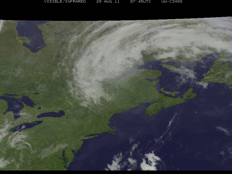
| Irene (2011)  | Hurricane Irene (2011) RGB Satellite Recording from University of Wisconsin
From the University of Wisconsin | No | Started:
08/24/2011 07:40pm
Last Updated:
08/29/2011 05:10am
Last Checked:08/29/2011 06:35am
Image Count:62 | 3417 |
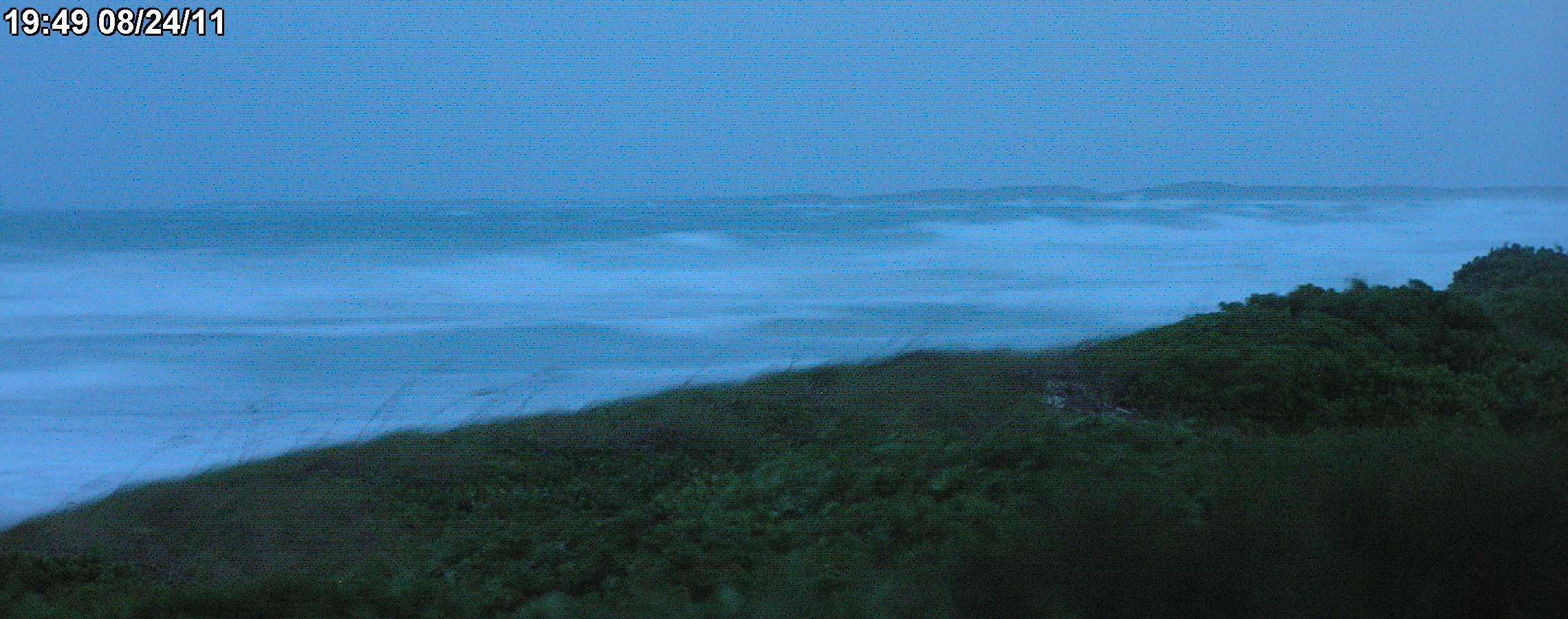
| Irene (2011)  | Rocky Bay (Abaco Island, Bahamas) Webcam Recording During Hurricane Irene (2011)
This webcam recording is from Rockybay.com the camera is located on Abaco island near 26.5N 77.0W
It is a large webcam recording and may be tough for some connections to download. Please also see Hope Town Fire Rescue for reports from Abaco Island in the Bahamas.
Please note: Camera has lost its internet connection and is no longer working | No | Started:
08/23/2011 06:10pm
Last Updated:
08/24/2011 07:55pm
Last Checked:08/26/2011 06:25am
Image Count:93 | 2926 |
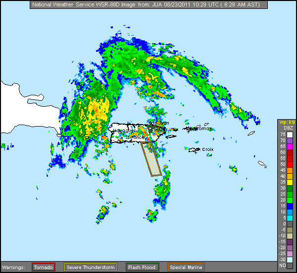
| Irene (2011)  | Irene (2011) Approach Puerto Rico Radar Recording
Radar Recording started 10AM EDT 8/21/2011
| No | Started:
08/21/2011 10:07am
Last Updated:
08/23/2011 06:35am
Last Checked:08/23/2011 06:35am
Image Count:192 | 4153 |
| Irene (2011)  | French Antilles Radar Animation for Irene (Aug 2011) Approach
Meteo France updates approximately once every 15 minutes
Recording Started at 7:30AM EDT 31 July 2011
| No | Started:
08/20/2011 03:39pm
Last Updated:
08/21/2011 06:39pm
Last Checked:08/21/2011 06:42pm
Image Count:106 | 4794 |
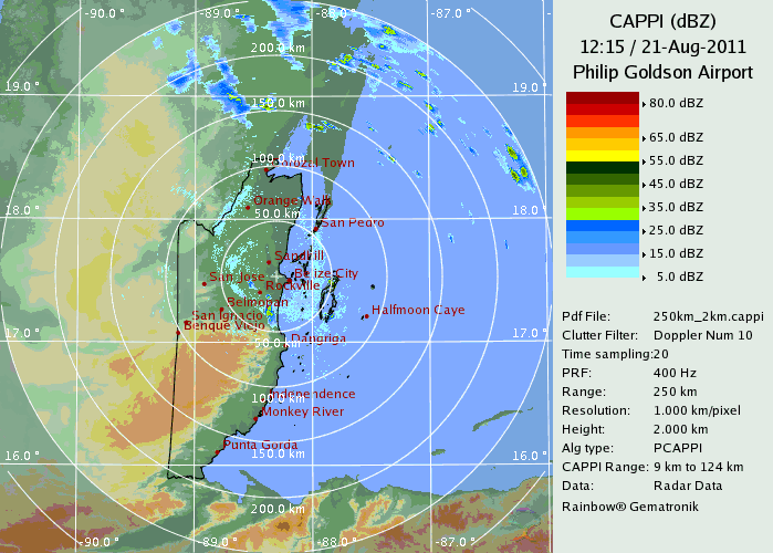
| | Belize Radar Recording for Harvey (2011) Approach
From the Belize Meteorlogical Service
Recording Started 6:10PM EDT 19 August 2011 | No | Started:
08/19/2011 06:33pm
Last Updated:
08/21/2011 08:21am
Last Checked:08/21/2011 08:45am
Image Count:141 | 2033 |
| | French Antilles Radar Animation for 93L (Aug 2011) Approach
Meteo France updates approximately once every 15 minutes
Recording Started at 7:30AM EDT 31 July 2011
| No | Started:
08/15/2011 06:39pm
Last Updated:
08/19/2011 08:40am
Last Checked:08/19/2011 08:48am
Image Count:337 | 1329 |
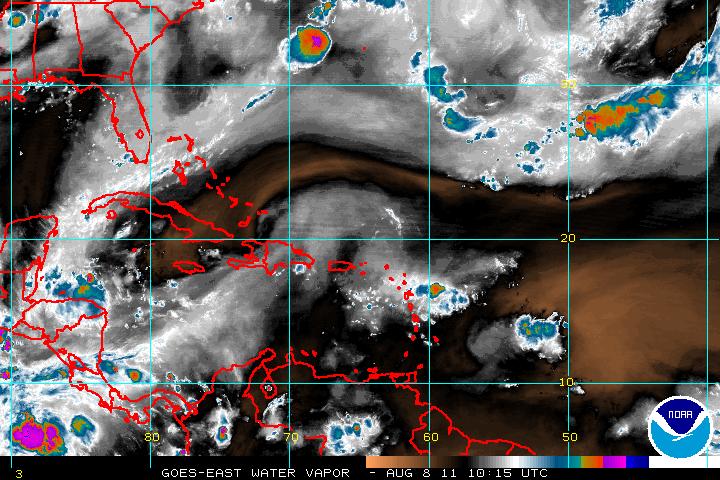
| | Long term West Atlantic Wide Area Water Vapor recording for peak of 2011 Hurricane Season
Source images from noaa satellite services division | No | Started:
08/12/2011 07:33am
Last Updated:
09/17/2011 08:55am
Last Checked:09/17/2011 09:00am
Image Count:1692 | 2952 |
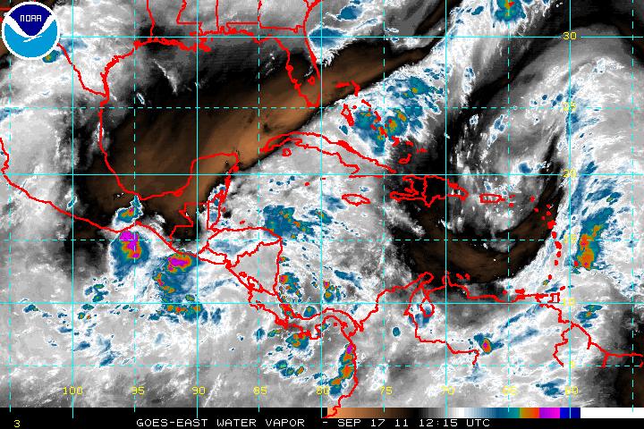
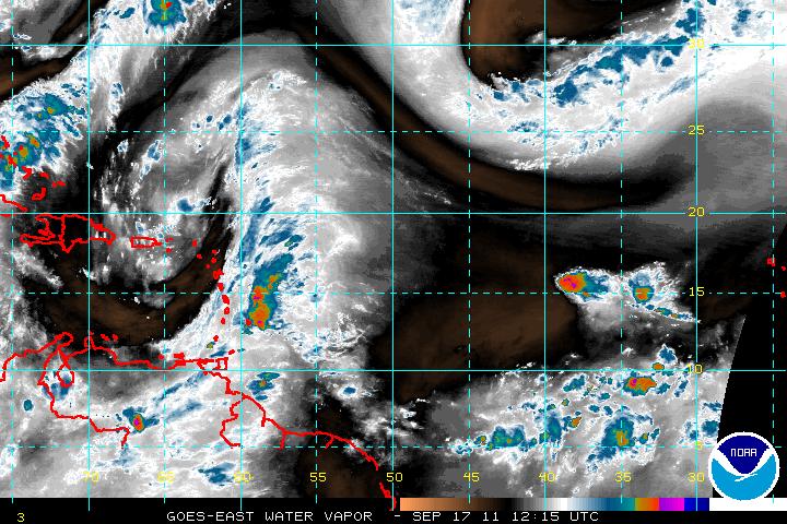
| | Long term Central Atlantic Wide Area Water Vapor recording for peak of 2011 Hurricane Season
Source images from noaa satellite services division | No | Started:
08/07/2011 08:22am
Last Updated:
09/17/2011 08:55am
Last Checked:09/17/2011 09:00am
Image Count:1901 | 4218 |
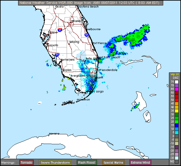
| | Emily (2011) Offshore Florida Radar Recording
Radar Recording | No | Started:
08/06/2011 10:00am
Last Updated:
08/07/2011 08:07am
Last Checked:08/07/2011 08:07am
Image Count:103 | 3063 |
| | WV Carib Satellite Recording of Emily (While Active)
Source images from noaa satellite services division | No | Started:
08/02/2011 08:32pm
Last Updated:
08/08/2011 06:56am
Last Checked:08/08/2011 06:56am
Image Count:265 | 1935 |
| | Visible Satellite Floater Recording of Emily (While Active)
Source images from noaa satellite services division | No | Started:
08/02/2011 07:24am
Last Updated:
08/08/2011 03:32am
Last Checked:08/08/2011 06:56am
Image Count:296 | 1601 |
| | French Antilles Radar Animation for Emily/91L (Jul-Aug 2011) Approach
Meteo France updates approximately once every 15 minutes
Recording Started at 7:30AM EDT 31 July 2011
| No | Started:
07/31/2011 07:39am
Last Updated:
08/02/2011 07:39pm
Last Checked:08/02/2011 07:39pm
Image Count:233 | 5147 |
| | Water Vapor Satellite Floater Recording of Emily (2011) (While Active)
Source images from noaa satellite services division | No | Started:
07/30/2011 12:56pm
Last Updated:
08/08/2011 03:16am
Last Checked:08/08/2011 06:56am
Image Count:437 | 2596 |
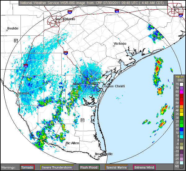
| | HardCore Weather Level 3 Radar Recording of Don (2011) Approach to South Texas
Source images from hardcoreweather.com
Recording Starts from 8:50AM EDT 29 July 2011
Switched to Corpus NWS Radar at 10:17EDT after loss of feed. | No | Started:
07/29/2011 08:50am
Last Updated:
07/30/2011 05:52am
Last Checked:07/30/2011 05:52am
Image Count:158 | 1812 |
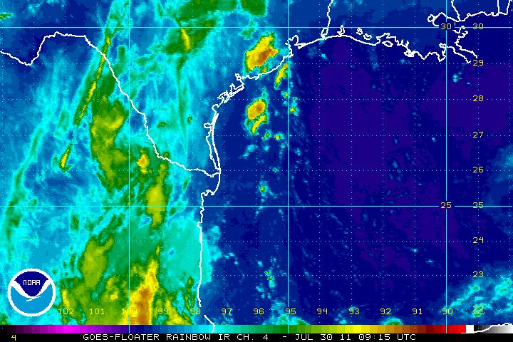
| | Rainbow Satellite Floater Recording of Don (While Active)
Source images from noaa satellite services division | No | Started:
07/27/2011 08:24pm
Last Updated:
07/30/2011 05:48am
Last Checked:07/30/2011 05:48am
Image Count:127 | 1225 |
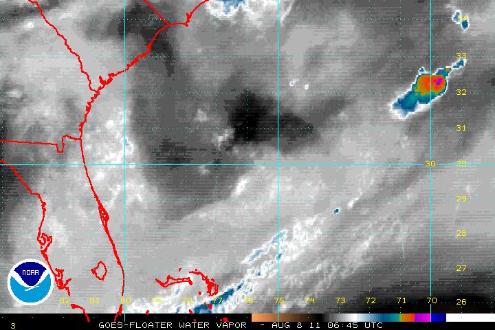
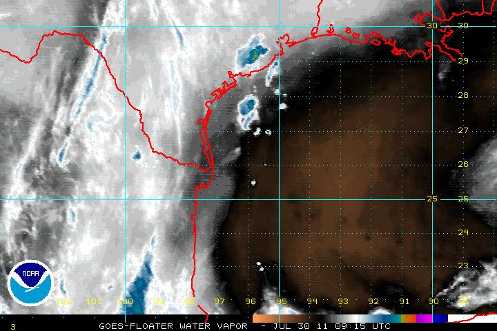
| | Water Vapor Satellite Floater Recording of Don (While Active)
Source images from noaa satellite services division | No | Started:
07/27/2011 08:24pm
Last Updated:
07/30/2011 05:48am
Last Checked:07/30/2011 05:48am
Image Count:124 | 1232 |
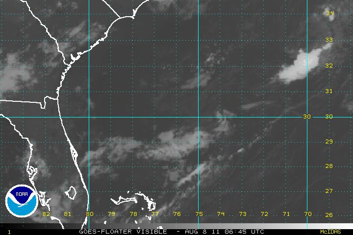
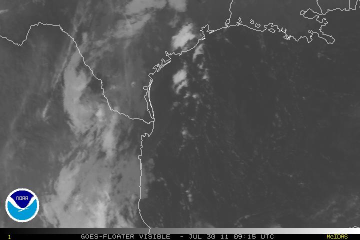
| | Visible Satellite Floater Recording of Don (While Active)
Source images from noaa satellite services division | No | Started:
07/27/2011 08:19pm
Last Updated:
07/30/2011 05:48am
Last Checked:07/30/2011 05:48am
Image Count:126 | 1119 |
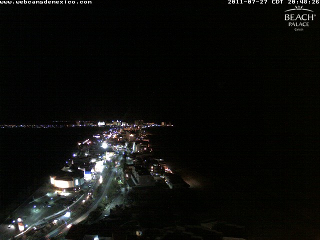
| | Webcam Cancun recording approach of Don/90L (July 2011)
Beach Palance Cancun Resort roof looking north northeast along the beach.(approx 21.11N 86.75W)
Webcam Cancun image source http://www.webcamcancun.com/ | No | Started:
07/27/2011 08:48am
Last Updated:
07/27/2011 09:49pm
Last Checked:07/27/2011 09:49pm
Image Count:701 | 3327 |
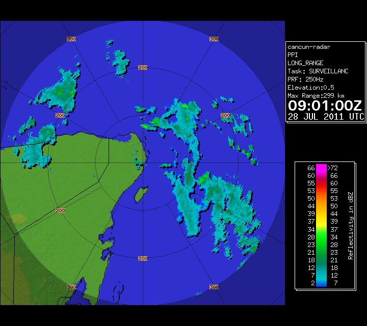
| Don (2011)  | Cancun Radar of Don/90L (July 2011) Approach
Source images from Mexican radar. Please note internet radar images from Mexico are usually an hour behind.
This webcam recording from cancun is also looking at the general direction of the "center". | No | Started:
07/26/2011 07:42pm
Last Updated:
07/28/2011 05:24am
Last Checked:07/28/2011 05:24am
Image Count:126 | 2207 |
| | French Antilles Radar Animation for 90L (Jul 2011) Approach
Meteo France updates approximately once every 15 minutes | No | Started:
07/22/2011 11:01am
Last Updated:
07/25/2011 06:54am
Last Checked:07/25/2011 07:06am
Image Count:267 | 1285 |
| Arlene (2011)  | Alimira and Alvarado Mexico Radar for Arlene (2011) Approach
Alimira and Alvarado Mexico Radar for Late June 2011 System Approach
Altimira on Left, Alvarado on Right
updated approx. every 15 minutes | No | Started:
06/27/2011 06:43pm
Last Updated:
06/30/2011 09:32pm
Last Checked:06/30/2011 09:42pm
Image Count:259 | 2414 |
| | Tropical Cyclone Yasi (2011) Approach to Cairns, Queensland, Australia Radar w/ Webcam
From Australian Bureau of Meterology ( http://www.bom.gov.au/ ) Also see http://www.cairns.com.au/news/ for more information about this system.
PLEASE NOTE: TIMES ON THIS PAGE ARE US EASTERN STANDARD TIME -5GMT Cairns is +10 GMT, so add 15 hours to the time mentioned for Cairns time.
Flhurricane focuses on Atlantic storms and does not have much information for other basins.
Link: Flhurricane.com topic about Tropical Cyclone Yasi
More Radar: Loop
Cairns Info for first webcam. For later Webcam
Weatherzone Australian Cyclone Yasi Discussion
Also see Regional Radar recording at this link.
Note webcams down, using raw radar images now | No | Started:
02/01/2011 05:56pm
Last Updated:
02/02/2011 07:08pm
Last Checked:02/02/2011 07:15pm
Image Count:119 | 5536 |
| | Tropical Cyclone Yasi (2011) Regional Radar Approach to Cairns, Queensland, Australia
From Australian Bureau of Meterology ( http://www.bom.gov.au/ ) Also see http://www.cairns.com.au/news/ for more information about this system.
PLEASE NOTE: TIMES ON THIS PAGE ARE US EASTERN STANDARD TIME -5GMT Cairns is +10 GMT, so add 15 hours to the time mentioned for Cairns time.
Flhurricane focuses on Atlantic storms and does not have much information for other basins.
Link: Flhurricane.com topic about Tropical Cyclone Yasi
More Radar: Loop
Weatherzone Australian Cyclone Yasi Discussion
Also see Recording of Cairns Cam + Local Radar
| No | Started:
02/01/2011 02:35pm
Last Updated:
02/02/2011 07:10pm
Last Checked:02/02/2011 07:15pm
Image Count:165 | 2117 |


