| Sandy (2012)  | Ocean City, MD Fager's Island Gazebo (Sandy 2012 Approach)
From Fager's Island in Ocean City, MD
see a video of the last few minutes at https://www.youtube.com/watch?v=I_1TRv8fdCQ.
| No | Started:
10/29/2012 09:12am
Last Updated:
10/29/2012 07:24pm
Last Checked:10/29/2012 11:25pm
Image Count:106 | 1188 |
| Sandy (2012)  | New York Times Shot of Sandy (2012) Approach to New York, NY
From the New York Times | No | Started:
10/28/2012 11:38pm
Last Updated:
10/30/2012 12:15am
Last Checked:10/30/2012 12:15am
Image Count:1063 | 1605 |
| Sandy (2012)  | Kill Devil Hills, NC Hurricanetrack.com Tower1 Recording (Sandy 2012 Approach)
From HurricaneTrack.com
approx 36.04N 75.67W
| No | Started:
10/27/2012 09:56am
Last Updated:
10/29/2012 06:57pm
Last Checked:10/29/2012 11:25pm
Image Count:1230 | 1423 |
| Sandy (2012)  | Florida Radar Recording From SFWMD for Sandy (2012) Approach
Images Mirrored From the South Florida Water Management District Website
Purple Line indicates Forecast Track. | No | Started:
10/25/2012 07:42am
Last Updated:
10/29/2012 08:50am
Last Checked:10/29/2012 11:21pm
Image Count:823 | 1983 |
| Sandy (2012)  | Long Run Sat image of Sandy
| No | Started:
10/25/2012 07:15am
Last Updated:
10/31/2012 07:40am
Last Checked:10/31/2012 07:45am
Image Count:844 | 4091 |
| 90L (Oct 2012) | Gulf Satellite recording of northern Gulf (90L) disturbance.
| No | Started:
09/05/2012 07:40am
Last Updated:
10/27/2012 07:10am
Last Checked:10/27/2012 09:40am
Image Count:4222 | 2384 |
| Isaac (2012)  | Gulfport, MS Hurricanetrack.com Tower1 Recording (Isaac 2012 Approach)
From HurricaneTrack.com
approx 30.36N 89.08W
| No | Started:
08/28/2012 10:07am
Last Updated:
09/04/2012 04:26am
Last Checked:09/05/2012 07:32am
Image Count:590 | 1996 |
| Isaac (2012)  | Gulf Shores AL Webcam (Isaac 2012 Approach)
From WKRG
Note: Webcams in storm approach areas have the habit of losing power or getting overloaded, and may stop working at any time. | No | Started:
08/28/2012 09:26am
Last Updated:
08/28/2012 10:25pm
Last Checked:08/28/2012 10:27pm
Image Count:155 | 3686 |
| Isaac (2012)  | Erato Street Terminal Webcam, New Orleans, LA (Isaac 2012 Approach)
From The port of New Orleans
This terminal is along the Mississippi river.
| No | Started:
08/28/2012 09:18am
Last Updated:
08/29/2012 08:22am
Last Checked:08/30/2012 07:26am
Image Count:972 | 3426 |
| Isaac (2012)  | Florida Keys WebCams Southernmost House Key West (Isaac 2012 Approach)
From http://floridakeysmedia.tv/
Southernmost house in key west
See http://www.southernmosthouse.com/
Note: Webcams in storm approach areas have the habit of losing power or getting overloaded, and may stop working at any time.
| No | Started:
08/26/2012 08:59am
Last Updated:
08/27/2012 06:26am
Last Checked:08/27/2012 06:26am
Image Count:754 | 3432 |
| Isaac (2012)  | Florida Keys WebCams Bahia Honda Key (Isaac 2012 Approach)
From http://floridakeysmedia.tv/
Approx Webcom Location 24.656N 81.2785W
Note: Webcams in storm approach areas have the habit of losing power or getting overloaded, and may stop working at any time. | No | Started:
08/26/2012 08:46am
Last Updated:
08/26/2012 08:57pm
Last Checked:08/26/2012 08:57pm
Image Count:381 | 2563 |
| Isaac (2012)  | Florida Radar Recording From SFWMD for Isaac (2012) Approach
Images Mirrored From the South Florida Water Management District Website
Purple Line indicates Forecast Track. | No | Started:
08/25/2012 09:20am
Last Updated:
08/28/2012 10:21pm
Last Checked:08/28/2012 10:28pm
Image Count:626 | 5432 |
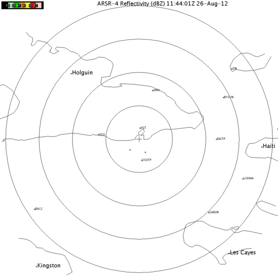
| Isaac (2012)  | Radar from Guantanamo Bay, Cuba for Isaac (2012) Approach
| No | Started:
08/24/2012 09:40pm
Last Updated:
08/26/2012 07:50am
Last Checked:08/26/2012 07:50am
Image Count:265 | 4472 |
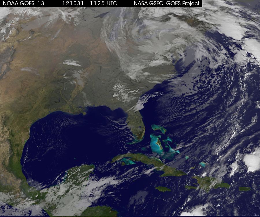
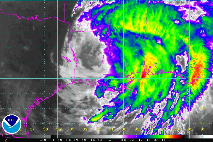
| Isaac (2012)  | Long Run Sat image of Isaac (RBTOP)
| No | Started:
08/23/2012 07:50pm
Last Updated:
08/30/2012 07:05am
Last Checked:08/30/2012 07:25am
Image Count:360 | 3297 |
| Isaac (2012)  | French Antilles Radar Animation for TD9/Isaac (Aug 2012) Approach
Meteo France updates approximately once every 15 minutes
Recording Started at 7:30AM EDT 31 July 2011
| No | Started:
08/21/2012 09:09am
Last Updated:
08/23/2012 01:39pm
Last Checked:08/23/2012 01:48pm
Image Count:209 | 4564 |
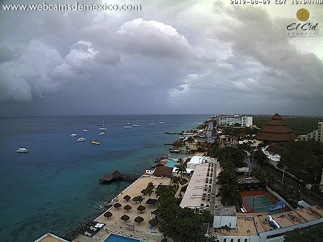
| Ernesto (2012)  | Cozumel Webcam Ernesto (2012) Approach
From webcamsdemexico.com at the El Cid La Ceiba Beach Resort on Cozumel. | No | Started:
08/07/2012 07:14pm
Last Updated:
08/08/2012 07:42am
Last Checked:08/08/2012 07:43am
Image Count:501 | 2265 |
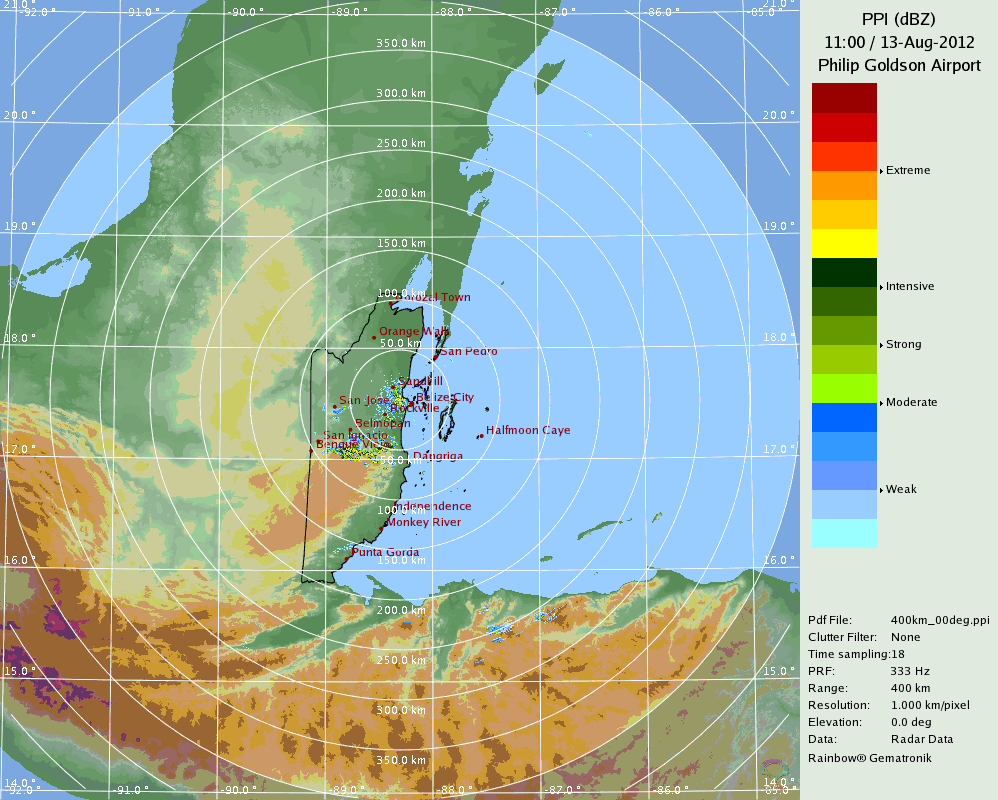
| Ernesto (2012)  | Belize Radar Recording for Ernesto (2012) Approach
From the Belize Meteorlogical Service
| No | Started:
08/07/2012 07:45am
Last Updated:
08/13/2012 07:12am
Last Checked:08/13/2012 07:12am
Image Count:557 | 2529 |
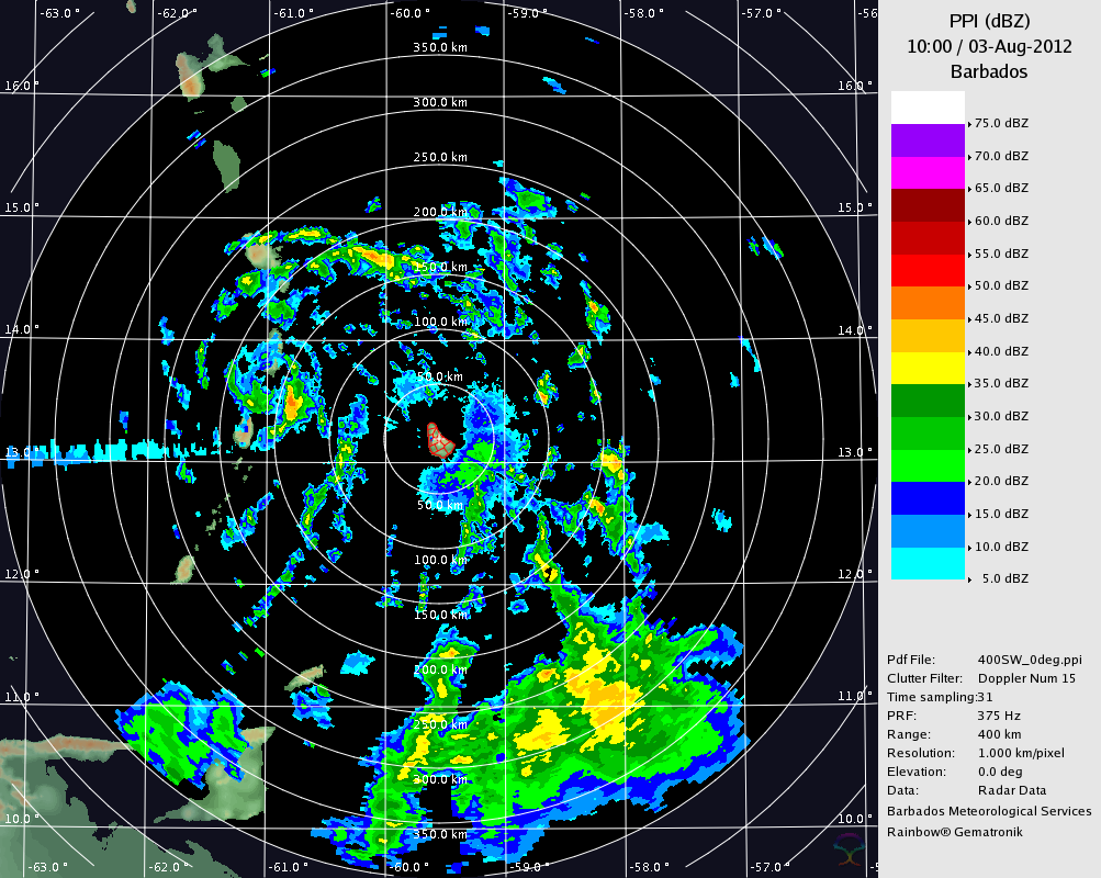
| Ernesto (2012)  | Barbados Radar for Ernesto (Aug 2012) Approach
Source From http://www.barbadosweather.org/
| No | Started:
08/02/2012 08:38pm
Last Updated:
08/03/2012 02:56pm
Last Checked:08/03/2012 03:06pm
Image Count:58 | 2358 |
| Ernesto (2012)  | French Antilles Radar Animation for Ernesto (Aug 2012) Approach
Meteo France updates approximately once every 15 minutes
Recording Started at 7:30AM EDT 31 July 2011
| No | Started:
08/02/2012 08:14pm
Last Updated:
08/03/2012 02:54pm
Last Checked:08/03/2012 03:06pm
Image Count:74 | 1432 |
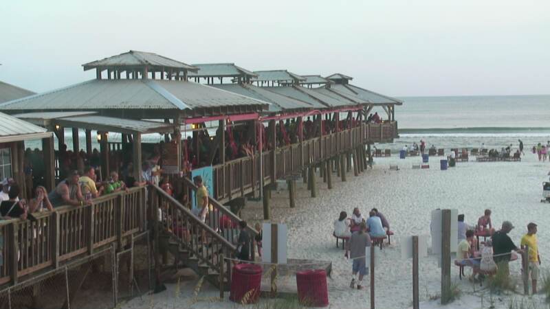
| Debby (2012)  | Beach Webcam Recording (Debby 2012 approach)
Note due to power outages this view may switch. Currently it is in Destin.
-- Note Switched to this from St. George's island/Alligator Point because of a power outage there | No | Started:
06/24/2012 12:03pm
Last Updated:
06/26/2012 08:32pm
Last Checked:06/26/2012 08:40pm
Image Count:225 | 1691 |
| Debby (2012)  | Florida Radar Recording From SFWMD for Debby (2012) Approach
Images Mirrored From the South Florida Water Management District Website
Purple Line indicates Forecast Track. | No | Started:
06/24/2012 09:22am
Last Updated:
06/27/2012 09:56pm
Last Checked:06/27/2012 09:56pm
Image Count:686 | 1495 |
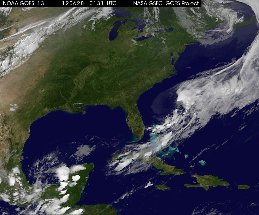
| Debby (2012)  | Long Run Sat image of Debby (2012)
| No | Started:
06/22/2012 07:37pm
Last Updated:
06/27/2012 09:55pm
Last Checked:06/27/2012 09:55pm
Image Count:456 | 7027 |


